Big Bend National Park is HUGE!
They say everything is bigger in Texas and this is definitely true for Big Bend National Park. For my and my wife’s anniversary we decided to check it out. The experience did not disappoint. The park is unique in the fact that it is home to an entire mountain range plus two other ecosystems for you to explore. On top of that the entire park gets pitch black at night. Clear nights and the lack of light pollution will give you some amazing starry skies.
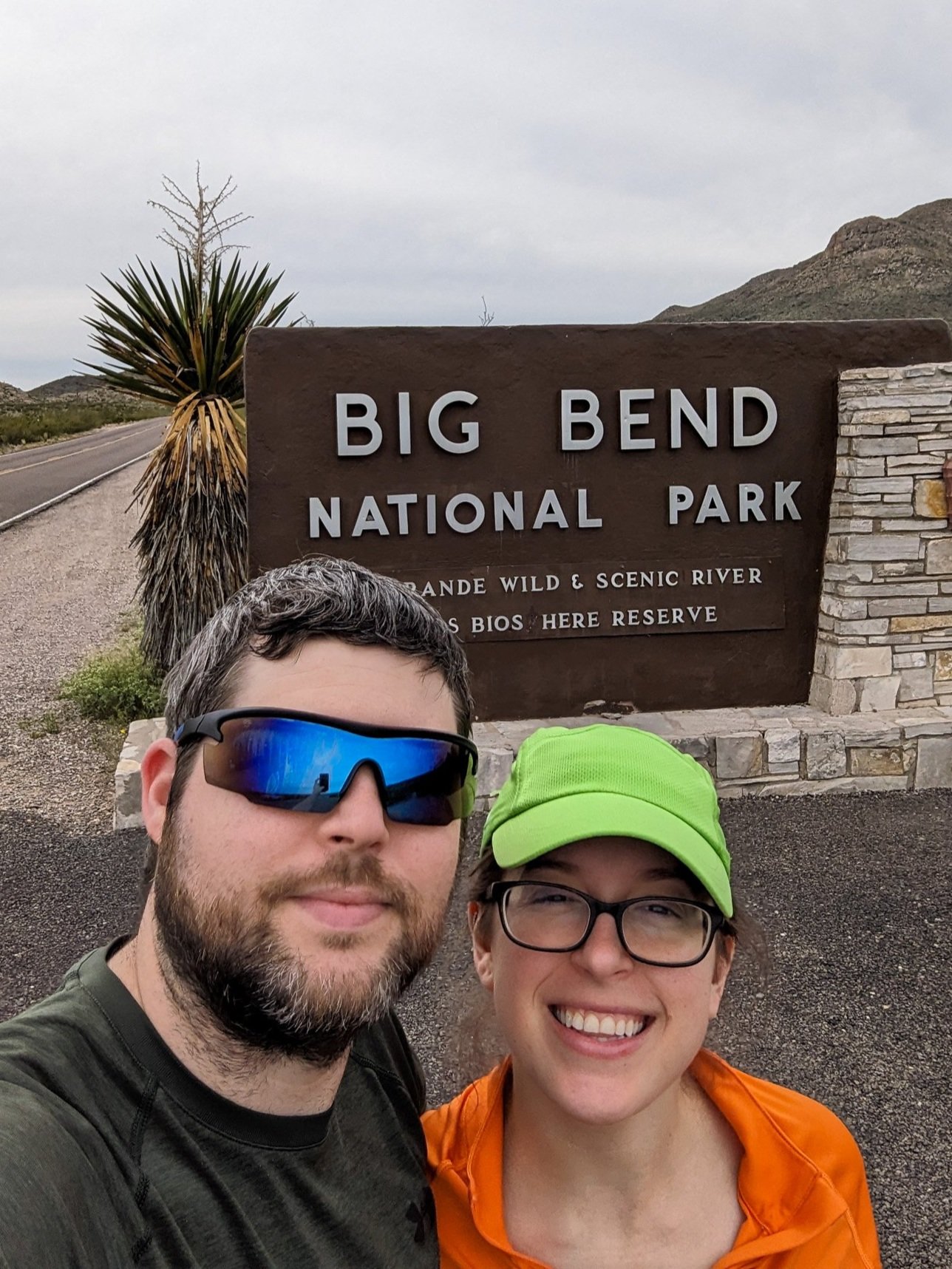
If you don’t take a picture at the entrance did you even really go?
so where is it?
Big Bend is located in southwest Texas, next to the Mexico border. Don't be surprised if you get stopped by a border patrol checkpoint during the drive there. For us personally it's roughly a 13 hour drive from Baton Rouge to the park entrance. We then had another hour to our campsite inside the park. You can drive from the tip of Louisiana’s boot to the northwest corner in about 6 hours. This was a heck of a drink in one state, do not underestimate the size of Texas.
This is a map of the entire park.
When is it open
The park is open all year round 24/7, so you don't have to worry about making it there before the gates close on you. If you do show up after all the visitor centers are closed you can simply stop by the next day to pay your entrance fee for the park.
It is impossible to explore everything in just one weekend but if like us that's all the time you have, check out the trails we did.
FIRST TRAIL: Lost mine trail
The first trail is probably by far one of the most popular trails in the park and that is the Lost Mine Trail. It is about 4.8 miles out and back.
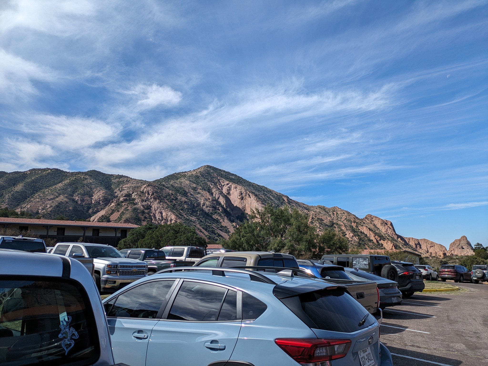
This was a wonderful introduction trail to the park. We got to the trail kind of early, around 7-ish in the morning, because apparently the tiny parking lot fills up quickly. Let me tell you it indeed does, this is partly because the parking lot only holds about 6 cars… so yeah get there early if you can.
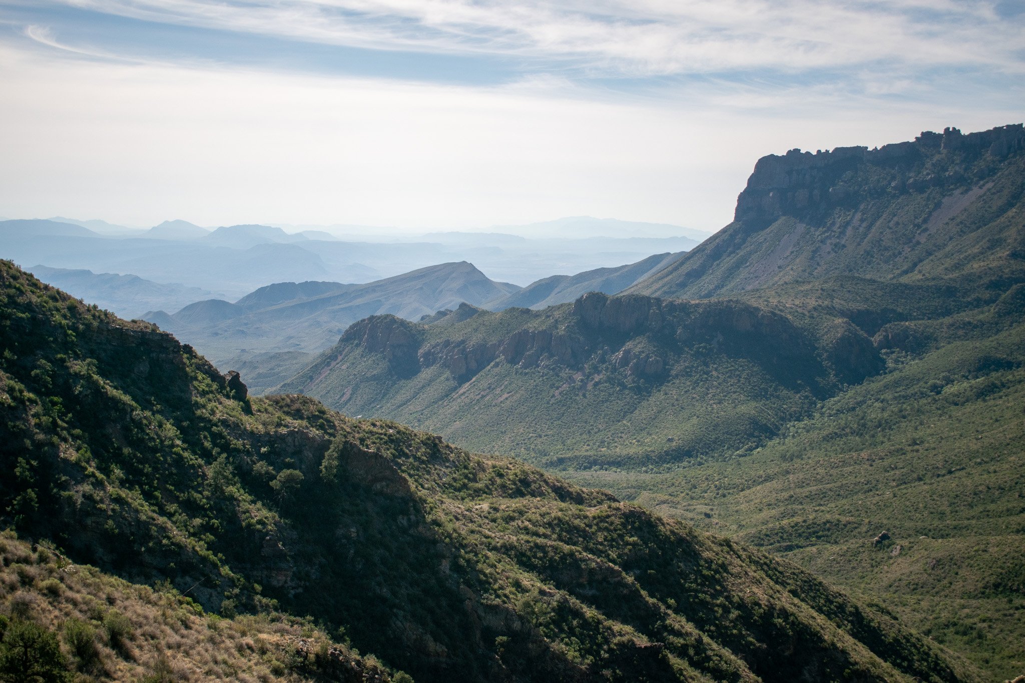
From the parking lot you are immediately treated to canyon-esk views all around you. You can see into the valley from across the parking lot and some pretty grand mountains at the trailhead. The first few feet of the trail is paved and it inclines pretty slowly. Eventually the trail shifts to a normal dirt/rock trail path. Throughout the trail you will experience a lot of different zones. For example you will feel like you are deep within the woods, as the trees seem to surround you and block out everything but the path ahead, emerging from the coverage to see that you are in between two mountains looking down into the valley.
This impressive view is where you think you because it is just behind the trailhead.
Upon reaching the peak, you may think you have reached the end of the trail since the trail becomes just rock but it does indeed continue for a few more yards. Just past the first peak you may notice a small trail leading to a second peak, this is the quote “true” end of the trail.
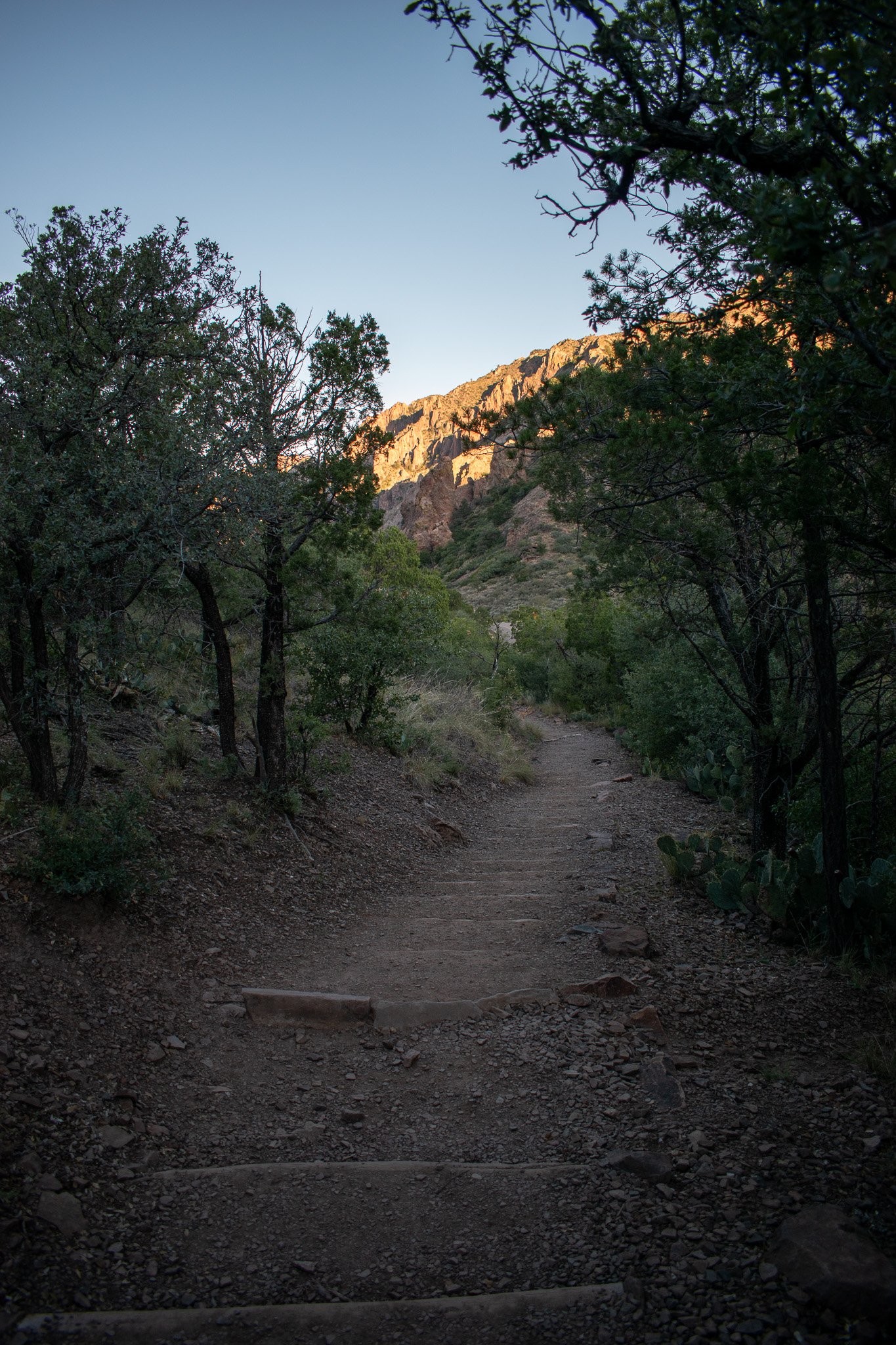
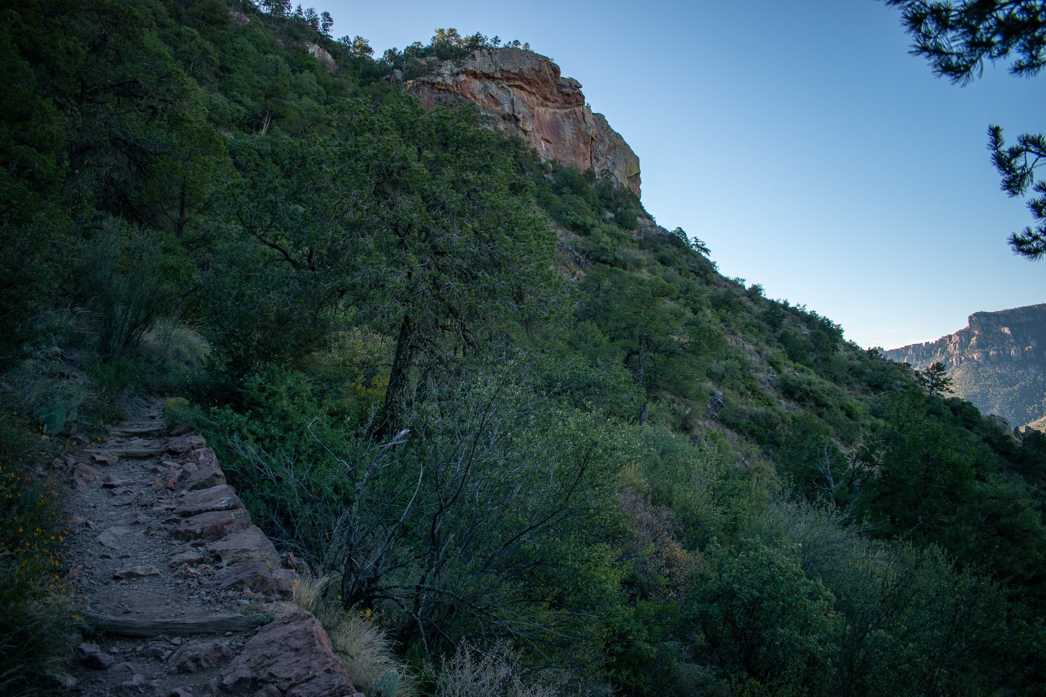
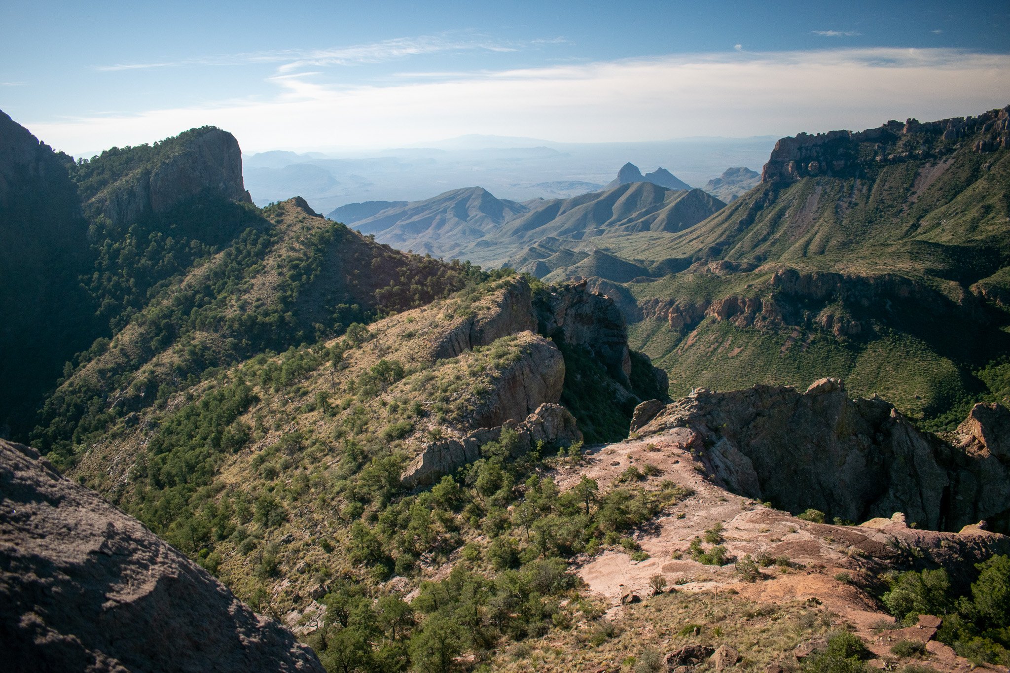
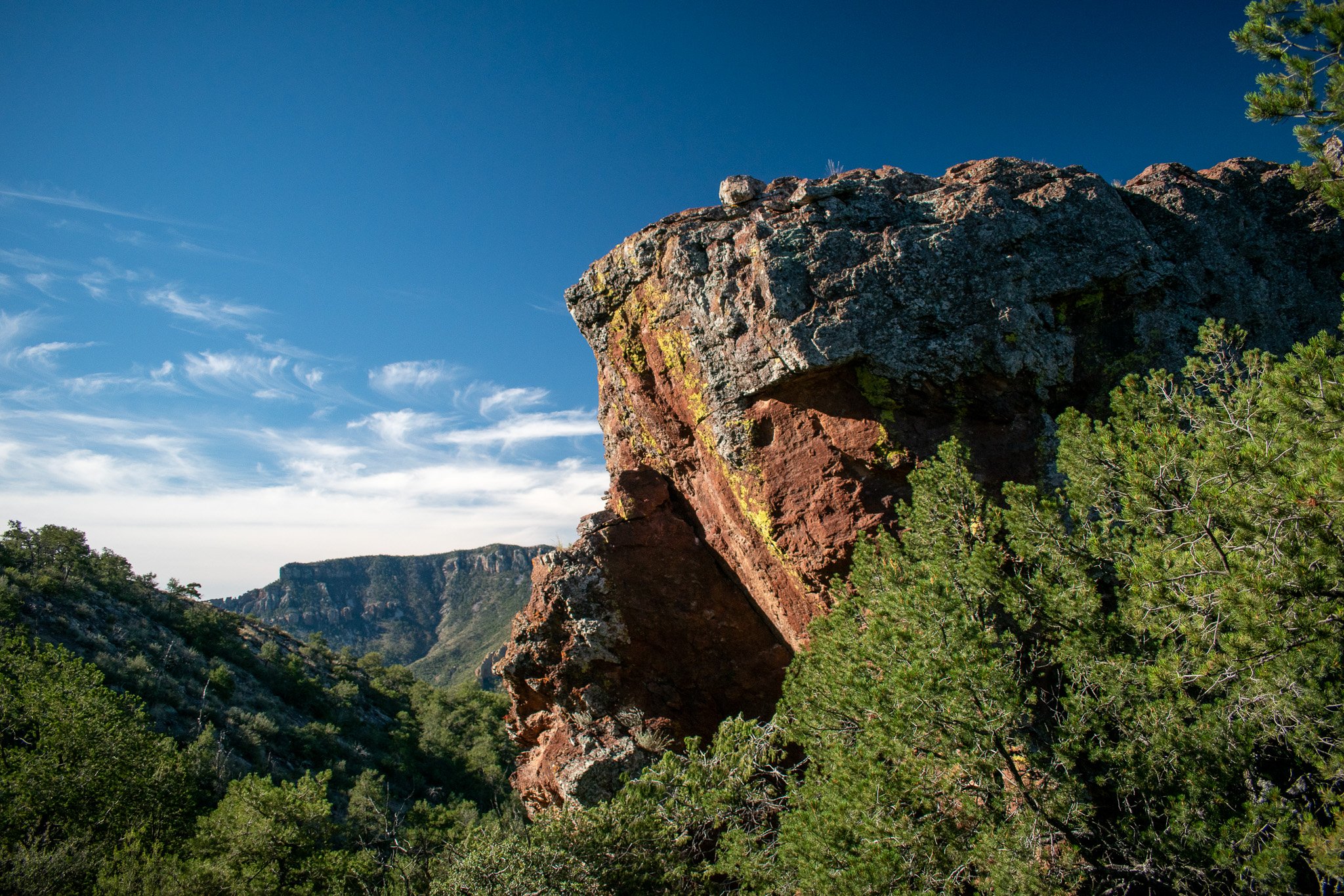
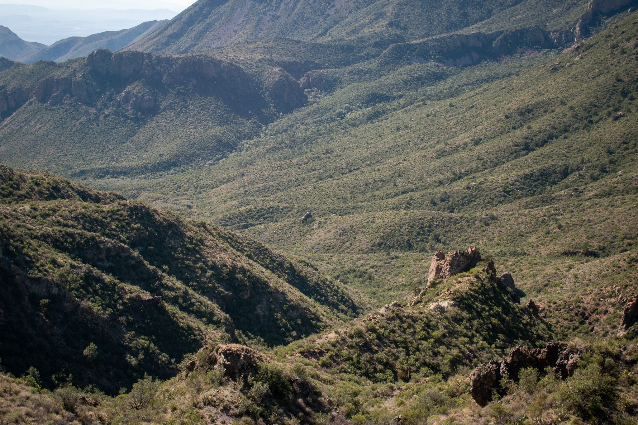
I'm not gonna lie, when we reached the first peak my wife and I thought we had made it to the finish line but a fellow hiker told us there was more to see. It isn't a far hike to the second peak and is quite fun to walk along a ridge line of a mountain.
After taking a good hour break to socialize with fellow hikers, eat and hydrate we started the path back down. By this time the sun was completely up and it was starting to warm up fast. The daily high was 84°F, but there are some shady areas to rest in. Overall the trail is really enjoyable most of the trail consists of switchbacks which makes the elevation change a lot easier to handle.
BREAK TIME
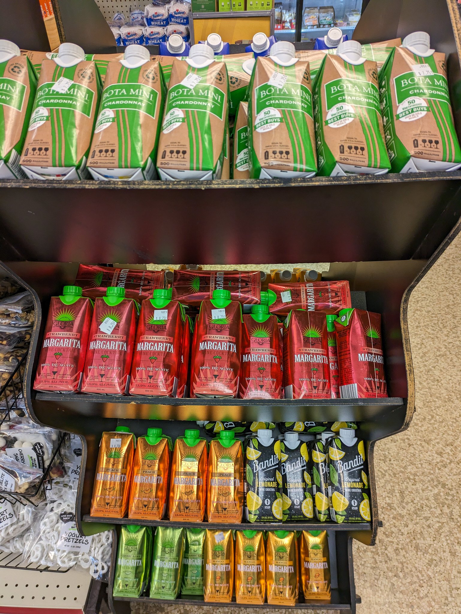
It was almost 11 o’clock once we made it back to the truck, so we decided to check out one of the visitor centers and the convence/gift shop at Chisos Basin. We found a parking spot and looked to see if there was anything cool in the gift shop. It was a decent run of the mill general store. There’s food, drinks, hiking supplies, and other basics like that. I laughed a bit at the individual small boxes of mixed drinks and wines. Fancy.
SECOND TRAIL: THE WINDOW TRAIL
This visitor center is also where you find The Window trailhead. The window is a 5.6 mile out and back hike in between two mountains. This trail is the complete opposite of the first trail which leads up, this one starts by going down.
The first part of the trail is quite nice since it is a gradual zig and zag down into the gorge of the mountains. Along the route we saw a good bit of wildlife, such as birds, tranchulas and even a deer. This trail is not known for having a lot of shade and there are numerous signs that warn you the heat can be very deadly. As we descended into the gorge we made a note of all the good shady spots to rest at on the return trip up.
The only picture I got from the Window trail
You might be surprised when hiking this trail because it will end abruptly. The last leg of the trail is actually a run off channel between the two mountains. This creates an interesting environment with the end of the trail being either solid rock or loose gravel.
Another great thing about the end of the trail is that because of the two rather tall mountains the temperature here is cool here. Again, my wife and I took a few minutes to take some pictures, eat a snack and fuel up for the return climb back to the trail head.
Warning, if you are brave enough you can go right to the edge of the trail and look straight down into the vastness. If you decide to do this be warned, there are no safety net in place.
After enjoying the views we decided to start the trek back to the trailhead. I will be honest I struggle with inclines. The lost mine trail was not too bad because it was the first trail of the day and the adrenaline was pumping, but after a day of hiking I was feeling it. Apparently a black bear was near the trail when we were hiking back up but we never saw or heard anything. As a side note remember that this is their home and we are just visiting.
Upon returning to the truck I felt beat up. My back and shoulders were very sore and once we got back to camp I was took it easy and rested for the rest of the evening. Thankfully my wife was kind enough to cook dinner that night.
Sunsets and Sunrises were unmatched at the campsite!
After a good night's sleep I felt much less sore, but not 100%. This was our final day at the park so we packed up everything, ate breakfast and headed off to the hot spring as our final destination. I will save that adventure for another time because this post is getting long.
Overall we only saw a fraction of the park but everything was amazing. We definitely are planning another trip back to see more of the park. I would highly recommend this park to anyone. Yes it’s a long drive from pretty much wherever you are but after you get past that you get to enjoy watching the landscape!
TRAIL REVIEW
Lost Mine Trail
DIFFICULTY: 6 OF 10
I did not find this trail to be that hard. The inclines were not too extreme so that made it enjoyable. On the way down it's all downhill which I thoroughly enjoyed as well. Finally the views are just unbeatable!
ABILITY TO FIND: 9 OF 10
The trail is easy to find but it loses points because if the parking lot is full it will be difficult to find somewhere close by.
ENJOYMENT: 10 OF 10
I loved this trial and can see why it's a favorite of many park visitors. I would definitely try to catch either a sunrise or sunset next time we visit the park. Also as someone that doesn't really have mountains in my home state, this was amazing to walk along the top of a mountain.
FACILITIES
There are various bathrooms at the visitor centers around the park but there are no bathrooms at the start of most trail heads.
The Window Trail
DIFFICULTY: 8 OF 10
Maybe it is just because the return is all up but I felt like this trail was a lot harder than the first trail of the day. I always have to prepare myself mentally on trails that end with an uphill climb.
ABILITY TO FIND: 10 OF 10
This trailhead is the easiest to find in my opinion because there are signs posted all over the visitor center on where to start.
ENJOYMENT: 10 OF 10
Even though I was thoroughly exhausted after this trail, it was still al ot of fun. It is hard to describe the feeling of being able to stand near the edge of two mountains and look almost straight down below.
FACILITIES
There are various bathrooms at the visitor centers around the park but there are no bathrooms at the start of most trail heads.

